Monograph No.3 (2014)
By Brian S Turner
Published in association with the Friends of Down County Museum & the Ulster Local History Trust
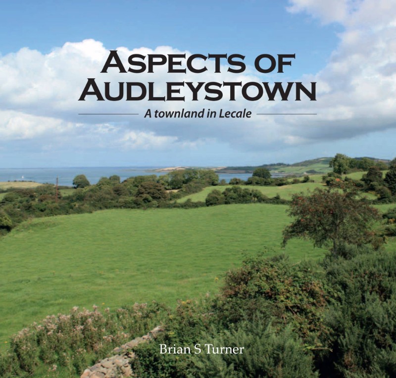
This study follows the publication of two maps of the townlands of East Down. These maps, Strangford Townlands and Lecale Townlands, published in 2011 and 2012 by the Friends of Down County Museum, supported by the Lecale & Downe Historical Society, and based on Ordnance Survey data, accurately represent the names and boundaries of the hundreds of townlands which identify our country from Newtownards southwards to Dundrum. Audleystown appears on both these maps, in the north part of the barony of Lecale where they overlap.
In all our places there is always more which can be investigated about family history, or folklore, or placenames, or social attitudes, and many other aspects of life. And in these days when even our farmers do not labour or walk in the land in the intense detail which used to be necessary, there can be significance and satisfaction in knowing why oak trees grow in a particular place, or an urban road takes an unexpected bend to respect some ancient boundary, or why a field is called Cruckloughanadreenan. Little observations can add up to greater ones and it is important to pass on inherited knowledge.
62 pages, 57 images, colour
ISBN 978-0-9573718-1-1
Price: £5 + £2 P&P (£4 if outside UK & Ireland)